Know what a parcel can hold before you make an offer
Search a Greenville County address or parcel number. The screen removes setbacks, flood zones, and wetlands, fits apartments or self-storage on what remains, and prices the residual land value. Each zoning number cites its ordinance section.
Free. No account.
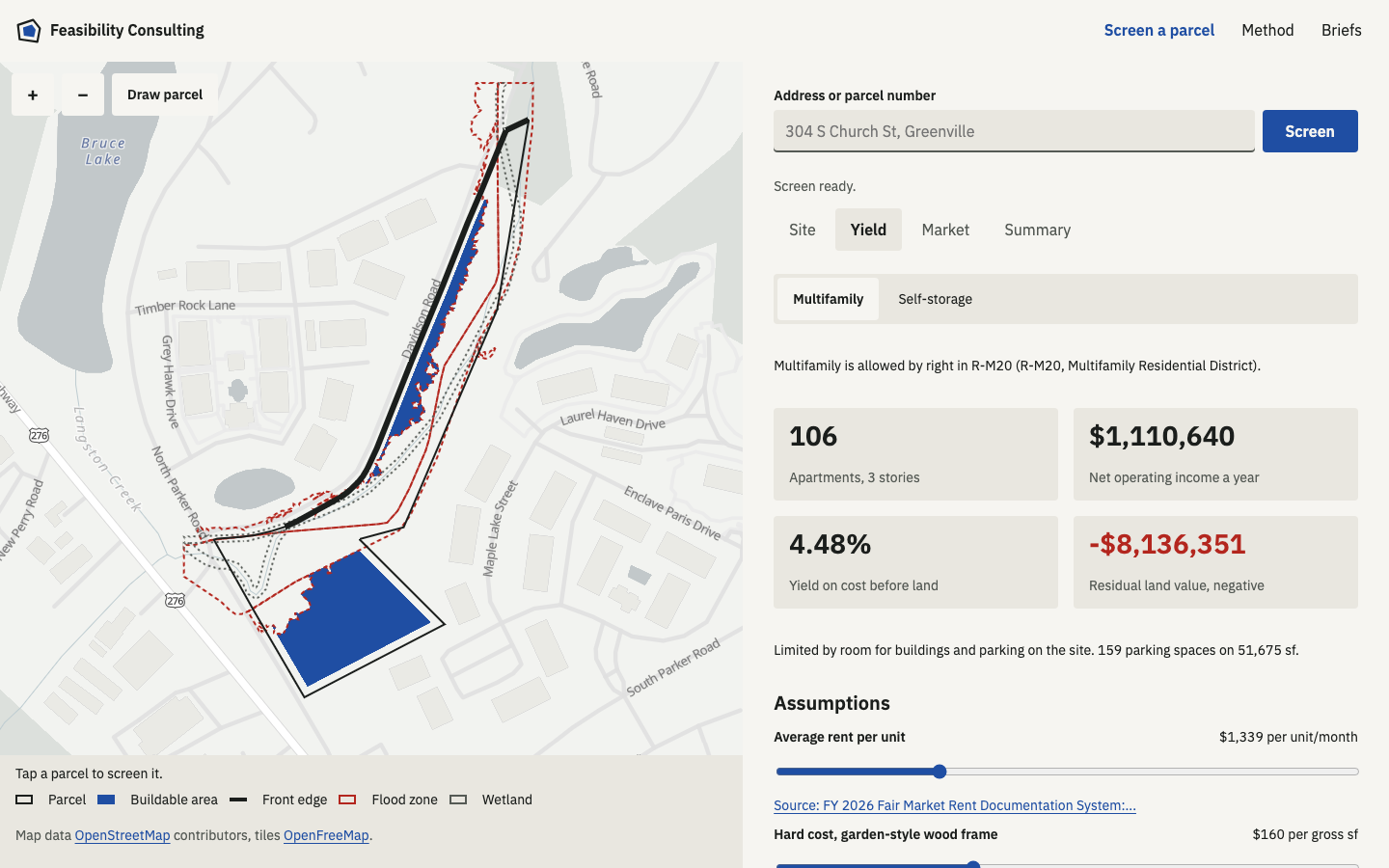
What a screen returns
- Parcel and zoning. The tax map outline, owner of record, zoning district, and overlays.
- Buildable area. Square feet left after front, side, and rear setbacks, FEMA flood hazard areas, and mapped wetlands.
- Multifamily yield. Units allowed by density, floor area, coverage, and room for parking, with the binding limit named.
- Self-storage yield. Net rentable square feet for single-story drive-up or multi-story climate controlled.
- Pro forma. Net operating income, yield on cost, and the most the land can carry at your return.
- Market rings. People, households, renter share, income, and rent within 1, 3, and 5 miles.
How the numbers are made
- Parcel lines
- Setbacks, flood, wetlands
- Buildable area
- Units or storage sf
- Pro forma
Geometry and arithmetic run in code, described in full on the method page. The AI does two jobs: it reads zoning text you paste, and it drafts a memo from the finished numbers. A value it reads is kept only when its sentence appears word for word in the source. A memo that states a number outside the screen is thrown out.
Coverage
Parcel lookup covers Greenville County. Zoning limits are on file for 25 City of Greenville districts and 27 unincorporated Greenville County districts. For parcels in other towns, or anywhere else, draw the parcel and enter the limits by hand.
Reviewed briefs
When a deal is real, order a reviewed brief. We check the screen against the full ordinance, confirm the district and overlays with the planning office, and list the sewer, access, and flood map questions to settle before closing. You receive a PDF in about 5 business days.
Pricing is quoted after we review the parcel.